I’ve been building Dispatch Zero, a location-based adventure web app that sends you on real-world missions to photograph nearby landmarks — murals, sculptures, memorials, historic buildings, scenic viewpoints — framed as field assignments from a mysterious handler called Zero.
I was inspired by the old Where in the World is Carmen Sandiego game and Pokemon Go. The idea being a bit of intrigue and an adventure outside in your area.
It runs in your phone’s browser. You don’t install anything from an app store, but you can add it to your home screen and it behaves like a real app.
How a Mission Works
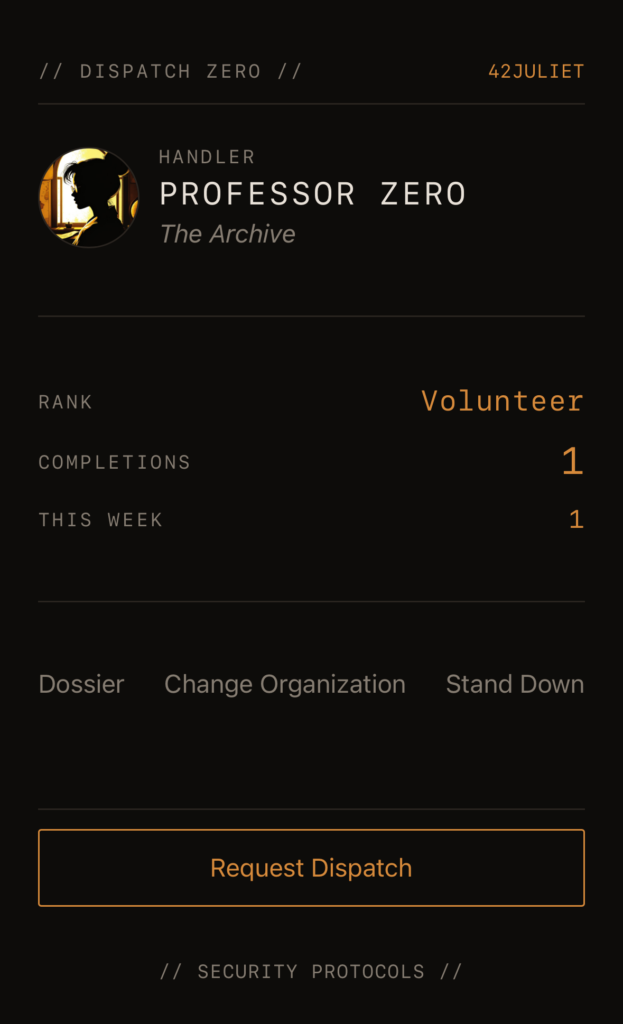
- Sign up with a callsign and a password. That’s it, no email, no real name.
- Pick an organization (more on those below).
- Tap Request Dispatch on the home screen. The app finds a real landmark near you.
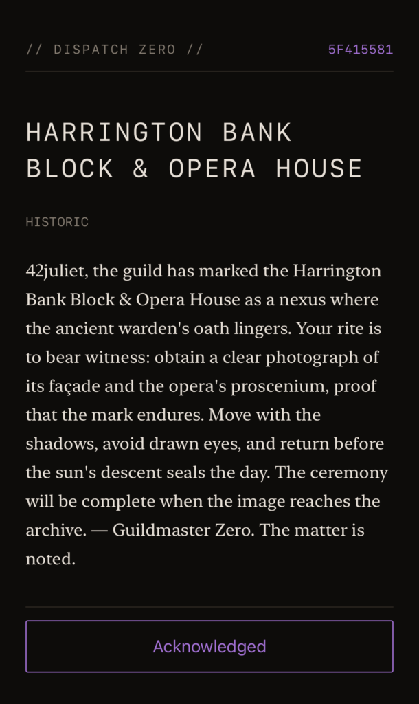
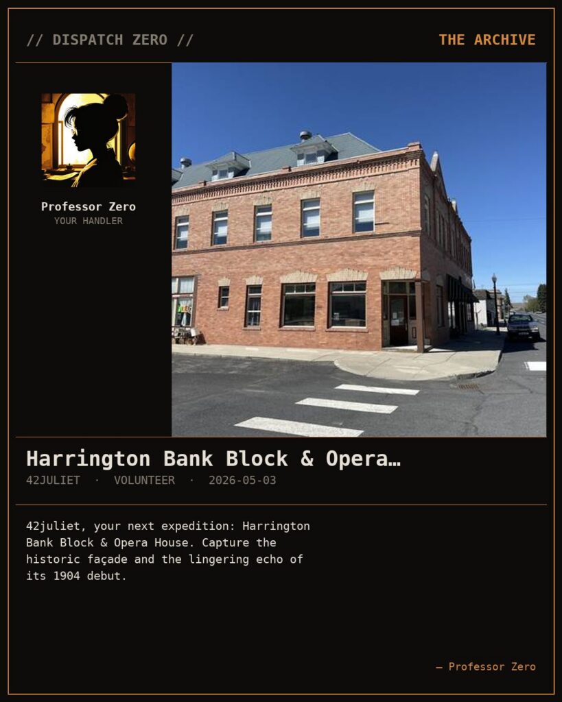
- You receive a written briefing in your handler’s voice, a hint, a target, and a small bit of in-character framing.
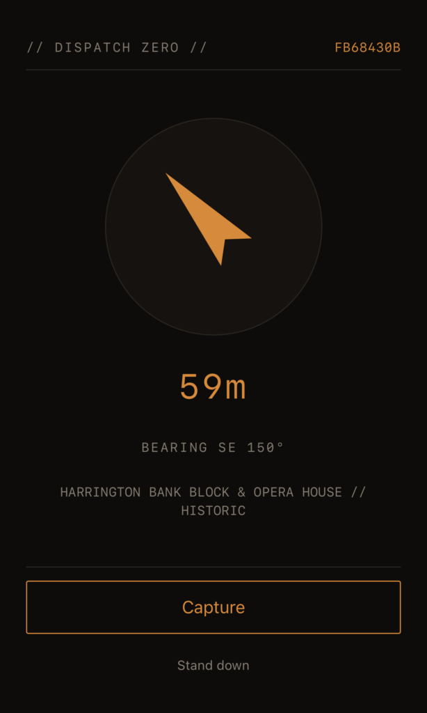
- You walk to the place. The Transit screen shows a live compass and the distance to your target.
- When you’re within range, the camera unlocks. You take a photo of the target as proof.
- The app verifies the photo by GPS, gives you a debrief, and adds the dispatch to your dossier.
- You can save a stylized mission card, share it, or rate the location and the mission.
That’s the full loop. A typical run, including the walk, takes ten to thirty minutes.
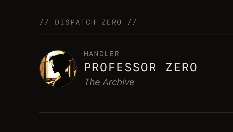
Three Organizations, Three Voices
When you sign up, you pick the tone you want your handler to have. Same character — Zero — but a different role title and writing voice depending on which organization you choose:
- The Archive — pulp expedition energy. Warm, curious, occasionally reckless. Briefings read like field notes from a colleague who’s about to ask you for an unreasonable favor. Similar in vibe to Indiana Jones or similar adventure stories.
- The Agency — cold, professional, vaguely threatening. Briefings read like declassified directives. The Agency’s purpose is never fully explained. Similar to Mission Impossible or James Bond and other spy adventures.
- The Guild — ancient and ceremonial. Briefings feel formal and faintly unsettling, as though they have been performed many times before, by other agents whose names are no longer spoken. Fantasy or D&D vibes.
You can switch organizations at any time.
What’s Under the Hood
- Real landmark data sourced from OpenStreetMap (via the Overpass API) and Wikipedia geosearch, with Wikidata for description enrichment. The Wikipedia tier is what makes the app work in small towns — I built it from a town of about four hundred, which forced us to try and have broader data fallback available.
- AI-written briefings via Ollama Cloud (gpt-oss:120b). Every mission is composed fresh in your handler’s voice, and previously-loved missions for a place are reused so the library improves over time.
- Compass and live distance readout during transit, using
DeviceOrientationEventandgeolocation.watchPosition. - Native camera capture with GPS verification at the target. The camera button stays locked until you’re within range.
- Mission cards composed server-side with Pillow at the end of each dispatch — a 4:5 share-ready image you can save to your camera roll or copy as a public link.
- A dossier of all your past dispatches, with one tap to re-share any of them.
- Ranks you climb as you complete dispatches. Junior Cataloguer → Cataloguer → Field Cataloguer → and so on, with a different progression per organization (analyst/operative tracks for The Agency, ceremonial tiers for The Guild).
- Installable as a PWA on iOS and Android. Add to home screen and it looks and feels like a native app.
Location & Data Limitations
Rural communities, the suburbs, absolute wilderness, all have limited available data. If there is not an Open Street Map or Wikipedia entry within 5km of you, then there won’t be an entry. The system tries to prevent duplicate missions within a 90 day timeframe, so after a while you will see repeats.
The app also gives you the nearest mission so if you want something different take a short walk and then request your mission and you will hopefully see more results. There is a tiered system of location search:
- 2km narrow OSM: This uses OpenStreetMap and searches just things like murals, statues, art, and other similar places.
- 5km narrow OSM: This uses OpenStreetMap and searches just things like murals, statues, art, and other similar places.
- 5km broad OSM: This uses OpenStreetMap and searches a broader range of POIs.
- 5km Wiki: This uses the Wikipedia data in a last attempt to find a POI near you.
There is also a filter that excludes locations with school, academy, or children in the name in an attempt to avoid sending folks to those locations for photos.
Security Protocols
I built this with as small a data footprint as I could manage. The full statement lives at dispatchzero.ataary.com/security. The short version:
- What we keep: your callsign, your password (one-way hashed with argon2id), your dispatches, and the photos you capture, with metadata removed. No email, no name, no phone, no device ID.
- One cookie, signed, used only to keep you logged in. No analytics, no trackers, no advertising network.
- Location is read at three specific moments — when you request a dispatch, when you use the compass, and when you capture a photo. It is never retained as a history.
- Sharing is opt-in. Your dispatches are private until you tap a share button. Share URLs use an unguessable token; there is no public index.
- What leaves our network: mission text goes to Ollama Cloud for the briefing writing; place lookups go to OpenStreetMap, Wikipedia, and Wikidata. Nothing else.
What is Next
There are quite a few features still in the works: multi-location missions, ability to decline and get a new mission, more POI data for rural areas, more intelligent mission text, and more. It will all roll out over time, and should preserve any existing gameplay with no issue. So it should be seamless upgrades to the system for the user.
Try It
https://dispatchzero.ataary.com
It’s still in development, but very playable at the moment. Sign up and request a dispatch.
Dispatch Zero runs on FastAPI with PostgreSQL + PostGIS, Redis, and Caddy in Docker on a Hetzner VPS. Briefings are generated by Ollama Cloud; landmark data comes from OpenStreetMap, Wikipedia, and Wikidata. Mission cards are composed server-side with Pillow.